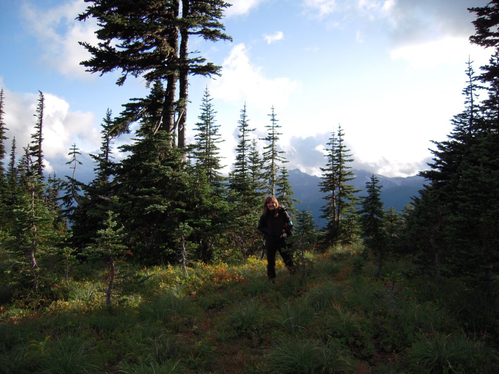
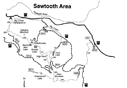
 Osborne Mountain Trail #250, 5.5 Miles
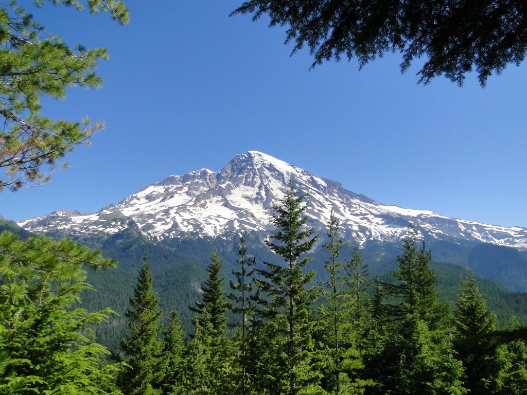
This trail begins in Big Creek Campground (Road 5200.029) and climbs steeply through a moderately dense forest. The trail passes through a harvest area and climbs to the south side of Osborne Mountain. The trail is cut by a switchback from Road 8410 (at mile 4). Continuing southeast, the trail skirts a timber harvest area and ends on Teeley Creek Trail #251 near Pothole Lake (Lower Bertha May Lake). Features include Osborne Mountain, views of Mt. Rainier, the Nisqually River Valley, and Pothole Lake. Elevation ranges from 1800 to 4680 feet above sea level.
*A Northwest Forest Pass is required for this trail. This pass can be purchased from Ashford Valley Grocery, located on SR 706 in Ashford.
Teeley Creek Trail #251, 4.3 Miles
The Teeley Creek Trail begins on Road 8410. It descends through a dense conifer forest to Pothole Lake (Lower Bertha May Lake). The trail skirts the lake, then meets with Osborne Mountain Trail #250, turns south and climbs steeply to Upper Bertha May Lake. Continuing east, it passes Granite Lake and follows the base of Sawtooth Ridge and High Rock, ending on Big Creek Trail #252 near Cora Lake. Elevation ranges from 3640 to 4500 feet above sea level.
Big Creek Trail #252, 2.4 Miles
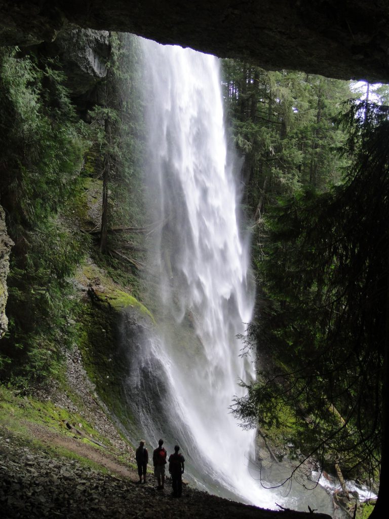
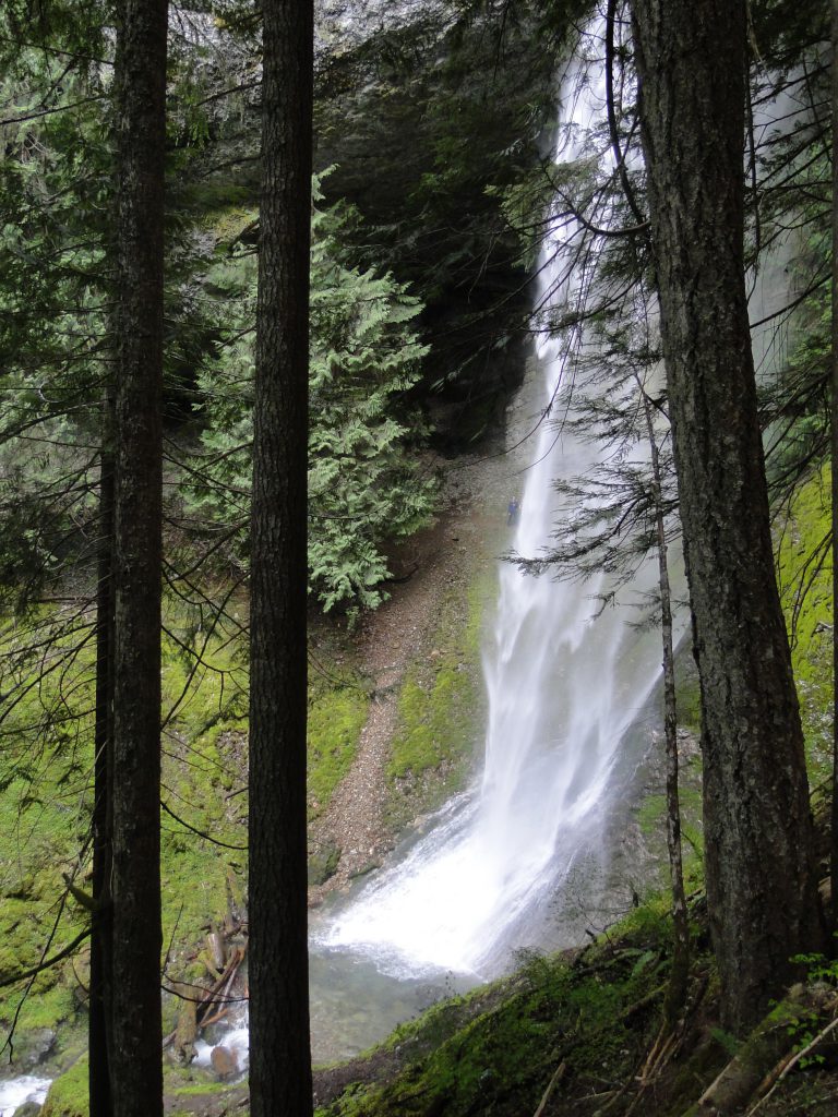
The Big Creek Trail begins on Road 8420 and climbs steeply to Big Creek and Cora Falls before reaching Cora Lake. Skirting the lake, it passes a junction with Teeley Creek Trail #251, enters a dense forest and climbs to its terminus on Road 8440. Features include Cora Falls, Cora Lake and High Rock. Elevation ranges from 3400 to 4640 feet above sea level.
Greenwood Lake Trail #253, 3 Miles
The Greenwood Lake Trail is shown on maps, but is not currently being maintained. The trail is difficult to follow. Check with the Packwood District for current information. Elevation ranges from 4000 to 4750 feet above sea level.
*A Northwest Forest Pass is required for this trail. This pass can be purchased from Ashford Valley Grocery, located on SR 706 in Ashford.
Cave Creek Trail #255, .5 Miles
This is a short access trail from Road 8510 to Osborne Mountain Trail #250. Elevation ranges from 3680to 3840 feet.
Silver Creek Trail #258, 4.5 Miles
Located near Bear Prairie, the Silver Creek Trail begins on Road 5240.015 and proceeds generally southwest on an easy grade through an old-growth forest until ending on Road 84. This trail is cut by road crossings with Road 5222.016, within the first section of the trail. Bear Prairie is a meadow at the headwaters of Skate Creek. Elevation ranges from 2880 to 4080 feet above sea level.
*A Northwest Forest Pass is required for this trail. This pass can be purchased from Ashford Valley Grocery, located on SR 706 in Ashford.
High Rock Trail #266, 1.6 Miles
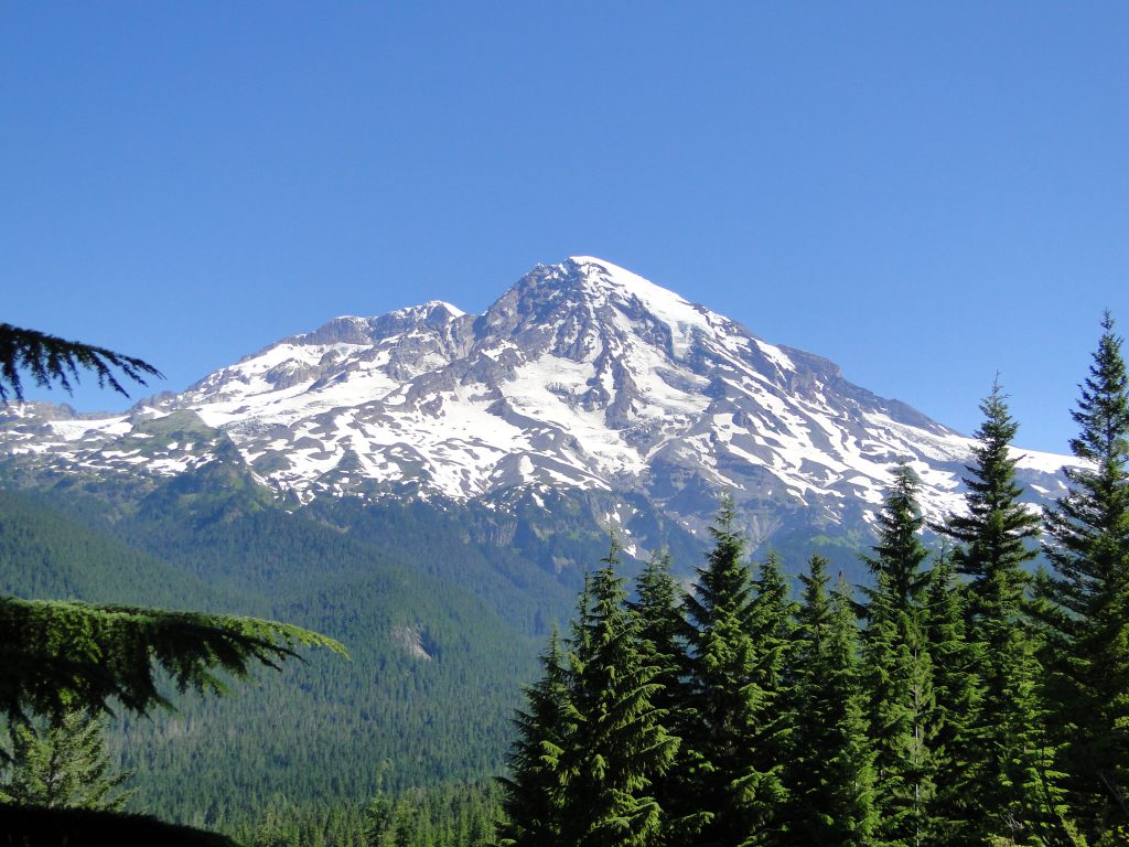
This trail takes hikers up to High Rock Lookout, one of three fire lookouts remaining on the Gifford Pinchot NF. The trail begins on Road 8440 and climbs steeply through increasingly sparse conifers to High Rock Lookout. High Rock is a prominent 5,685 feet high peak on Sawtooth Ridge with a sheer 600 foot drop on its north face. Please use caution when exploring this area. Stay behind the cables. The lookout offers incredible views of the Sawtooth Ridge, Mt. Rainier and much of the surrounding landscape. Trailhead: High Rock – Trailhead is at the intersection of FR 8440 and the southern end of High Rock Trail No. 266. Elevation ranges from 4320 to 5685 feet above sea level.
*A Northwest Forest Pass is required for this trail. This pass can be purchased from Ashford Valley Grocery, located on SR 706 in Ashford.
Allen Mountain Trail #269, 4 Miles
Formerly Skate Mountain Trail, this lightly used trail begins on Road 8460 and climbs 2.5 miles to the top of Allen Mountain. Here it enters the open, subalpine landscape and follows the Ridge to its junction with Greenwood Lake Trail #253. Elevation ranges from 4240 to 4720 feet above sea level.
*A Northwest Forest Pass is required for this trail. This pass can be purchased from Ashford Valley Grocery, located on SR 706 in Ashford.

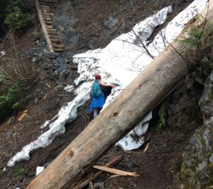
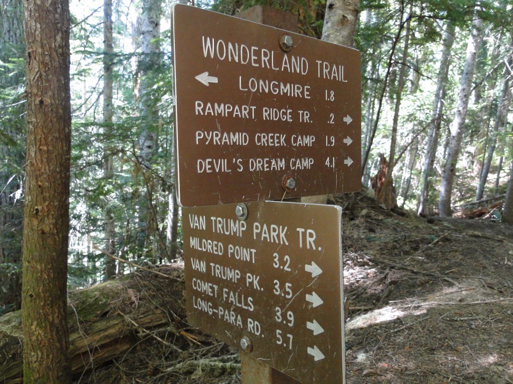
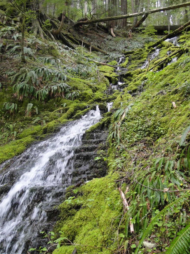
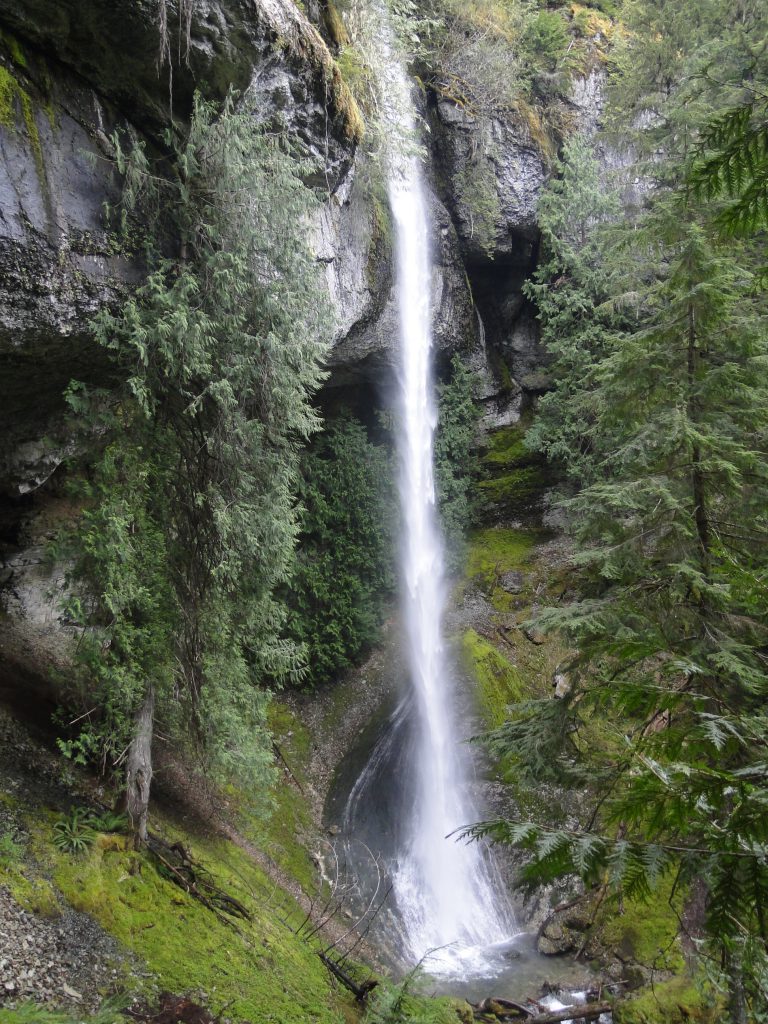
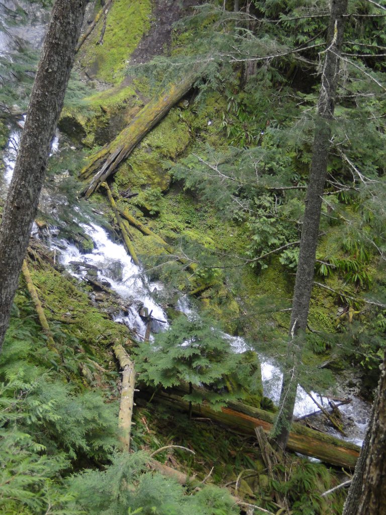
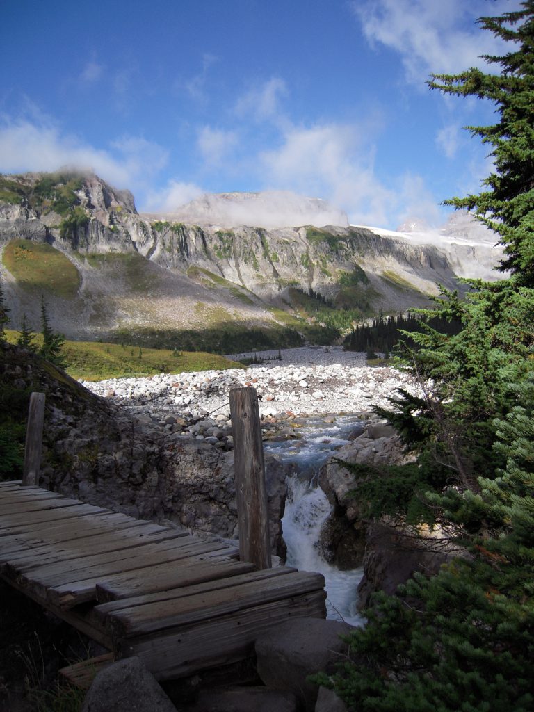
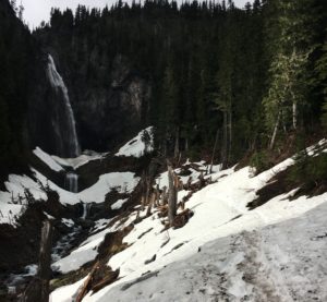 Comet Falls is currently not advised for most casual day-hikers. There are still significant amounts of snow covering the entire 2nd mile of the ascent, and major portions of this are on steep hillsides with the river below. Having experience with snow, my hiking partner and I proceeded cautiously beyond these obstacles with a combination of sturdy hiking boots and micro-spikes for extra grip/traction.